Easton PennDOT
Driving Test Routes
Get 8 driving test routes for the Easton test area, with Google Maps GPS links and printable road maps.
00 : 00 : 00
Instant access after purchase.
Everything You Get for $19.99
Your complete Easton route pack gives you four useful downloads for learning the test-area roads.
See What You Get
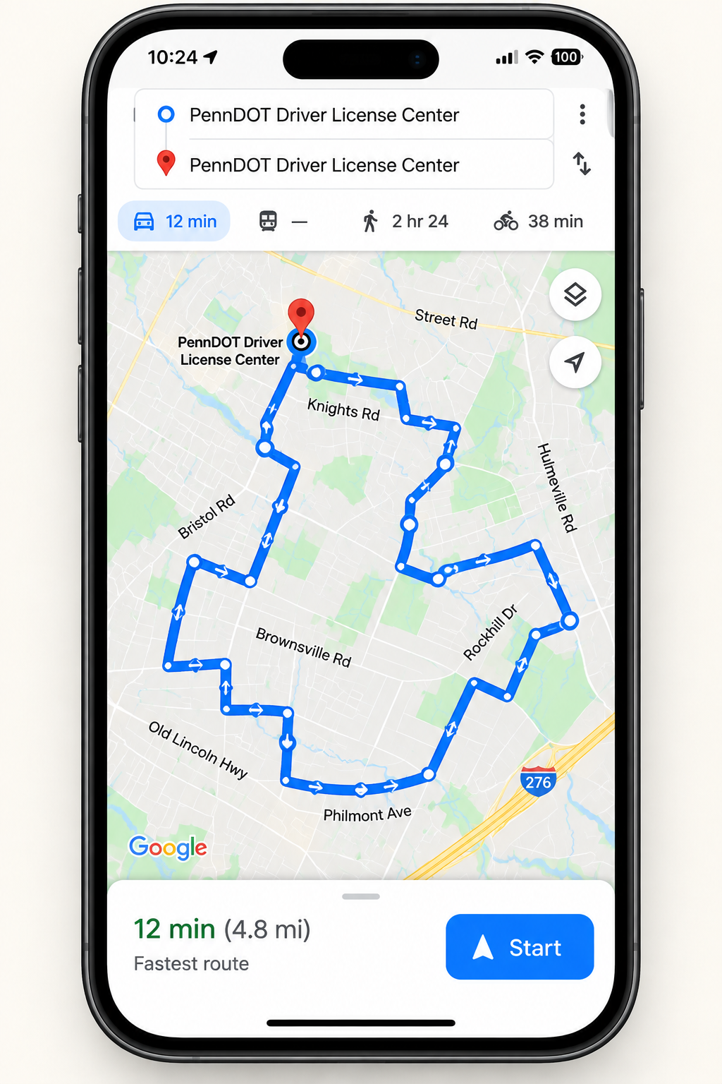
The Easton pack combines printable route maps with a separate Google Maps GPS document containing clickable links for all eight routes.
That means you can look over the route first, then go to the test center, open the route link on your phone and follow the directions in Google Maps.
How to Use Your Easton Driving Test Routes
Go to the Test Center
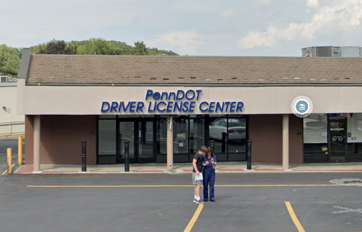
Start at or near the Easton PennDOT test location so you begin from the correct area.
Open a Route
Open your Google Maps GPS PDF and tap the link for the route you want to drive.
Follow Google Maps
The route opens on your phone. Start navigation and follow the directions around the route.

Supplied With Local Driving Instructor Knowledge
The driving test routes are supplied by local driving instructors with knowledge of the test route areas.
The aim is simple: give you a structured set of routes around Easton so you can spend more time becoming familiar with the local road environment and less time deciding where to drive.
8 Easton Driving Test Routes
Choose a different route each time or repeat a route until the road layout feels more familiar.
Preparing Around Easton
Easton’s test area gives learners experience with a mix of local roads, commercial access points and intersections. The eight-route pack helps you build familiarity with the area around the 25th Street Shopping Center.
Use the printable maps to understand the shape of each circuit, then use the Google Maps links when you are ready to drive. Repeating different routes can help you pay more attention to road signs, lane position, junction approach and traffic conditions instead of being surprised by the area itself.
Frequently Asked Questions
Get All 8 Easton Driving Test Routes
Google Maps GPS routes + printable maps + two bonus books.
00 : 00 : 00