Uniontown Driving Test Routes
8 predefined driving test routes with Google Maps GPS navigation and 8 printable road maps. Driving test routes supplied by local driving instructors with knowledge of the test route areas.
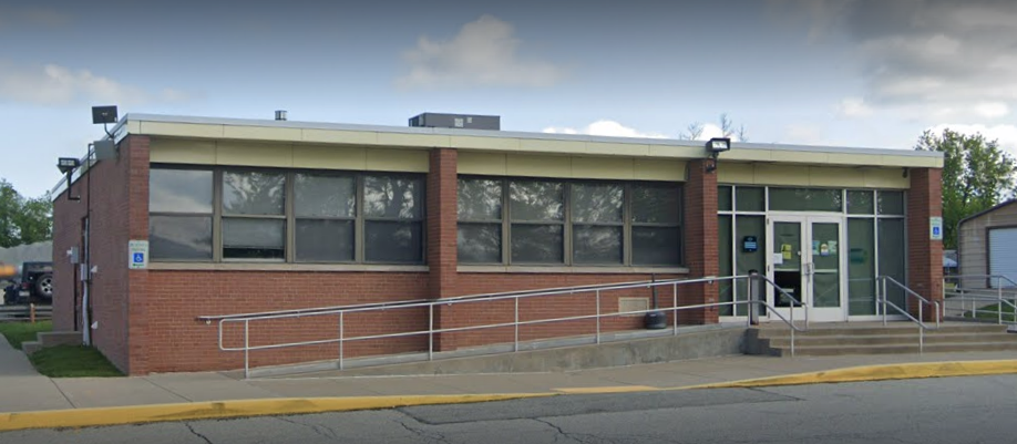
855 N. Gallatin Ave. Ext., Uniontown, PA 15401
$29.99 $19.99
Everything You Get
8 Google Maps GPS driving test routes, 8 printable road maps, the Pennsylvania Driving Test Guide and What the Hell? Confessions of a Driving Instructor – American Edition (114 pages). Instant access and permanent download access.
How to Use Your Driving Test Routes
1. Go to the test centre.
2. Choose a route.
3. Open the route in Google Maps.
4. Start navigation.
5. Follow GPS directions until the route returns to the test centre.
8 Uniontown Driving Test Routes
Routes 1-8 use roads around North Gallatin Avenue, Oliver, Rolling Hills and nearby Uniontown streets, with a mix of local turns, junctions and road environments.
Driving Instructor Knowledge
The driving test routes are supplied by local driving instructors with knowledge of the test route areas.
Nearby Driving Test Route Areas
See more Southwest Pennsylvania driving test routes, including Bridgeville and Penn Hills.